|
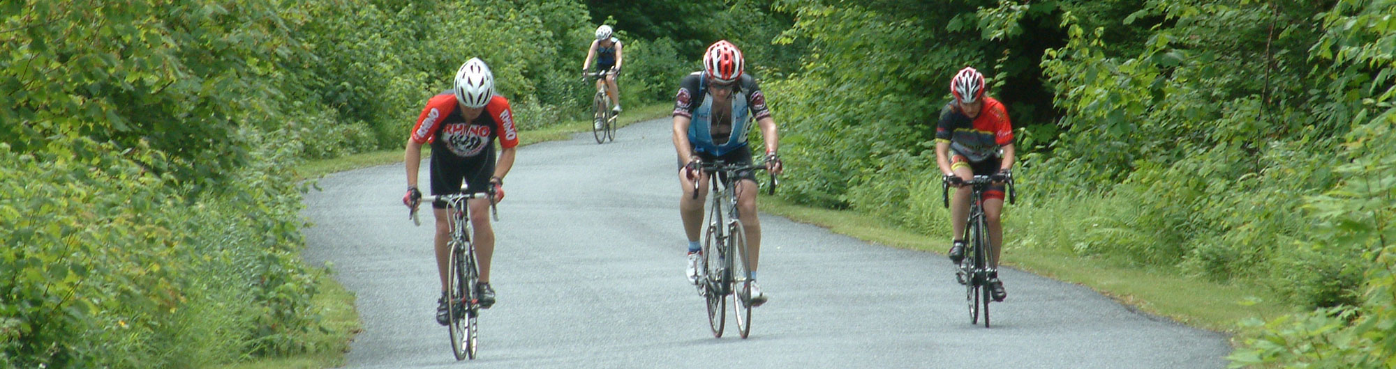
Scroll down to see the trails or, to jump to a specific hike click a trail name in the list:
Easy trails Mi. Surface Elev. change Connecticut River Loop 35.1 Paved 1,714 Connecticut River Loop-North 11.6 Paved 391 Connecticut River Loop-South 23.4 Paved 1,313 Williams River Loop 11.3 Paved/Gravel 432 Toonerville Trail 3.2 Paved 146 The Windsor Loop 8.03 Paved/Gravel 951 Moderate trails Mi. Surface Elev. change Chester- Springfield Loop 19.9 Paved 1,195 Farm View 11.1 Paved/Gravel 1,323 Around Mount Ascutney 23.6 Paved 1,328 Around Mount Ascutney - Gravel Option 18.9 Paved/Gravel 1,230 Riverview Loop 34.8 Paved 1,947 Windsor - Hartland - Brownsville Loop 23.1 Paved 1,353 Buttermilk Falls Loop 19.1 Paved/Gravel 1,398 |
Moderate to Challenging trails
Mi. Surface Elev. change Gravel and Gorge 26.5 Paved/Gravel 2,388 Chester - Ludlow Loop 29.1 Paved/Gravel 2,312 Popple Dungeon Loop 20.7 Paved/Gravel 1,815 Southern Windsor Gravel Grinder 19.7 Gravel 2,008 Ridgeview Loop 32.4 Paved/Gravel 3,072 Challenging trails Mi. Surface Elev. change 2018 Overland Route 45.7 Gravel 6,009 Mt. Ascutney Parkway Climb 7.4 Paved 2,270 Dirty Around Mount Ascutney 28.2 Mostly gravel 2,941 Covered Bridge 50 50.2 Paved 2,843 South Windsor Century 101.2 Paved 6,564 |
|
|

|
Covered Bridge 50Route Profile
Miles: 50.2 Surface Type: Paved Elevation Gain: 2,843 ft Difficulty: Challenging 
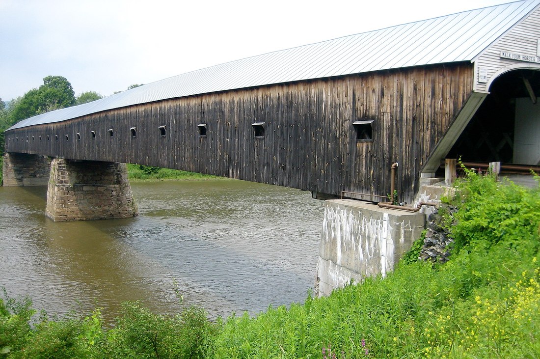
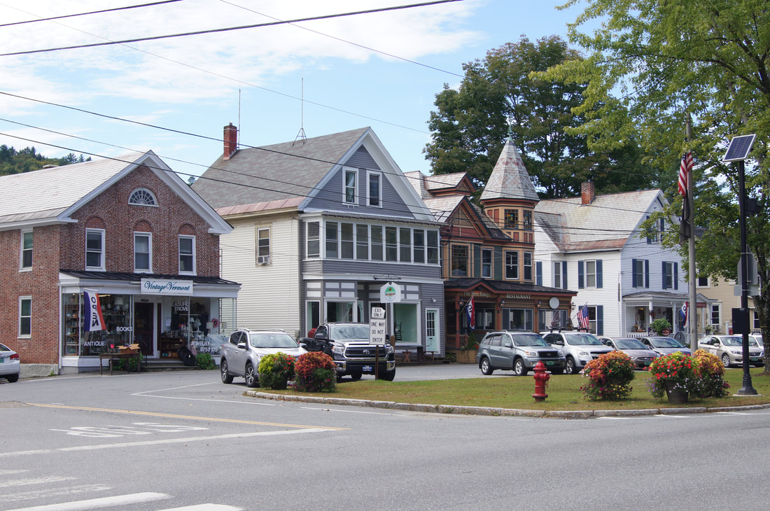
This route is a 50 mile paved road ride that connects 5 historic covered bridges in South Windsor County, including the Cornish-Windsor covered bridge which was built in 1866 and is one of the longest covered bridges in the United States . A good place to start and end the ride is Artisan's Park, a collective of 8 unique Vermont businesses including Harpoon Brewery. This route is best for the confident road cyclist looking to get a good sampling of road riding in South Windsor County. The rolling route parallels the Connecticut River and passes several small farms, skirts the northern boundary of Mt Ascutney before looping back the town of Windsor.
|
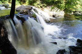
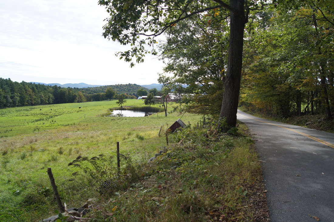
Buttermilk Falls LoopRoute Profile
Miles: 19.1 Surface Type: Paved/Gravel Elevation Gain: 1,398 ft Difficulty: Moderate 
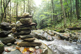
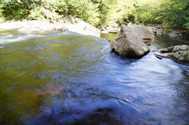
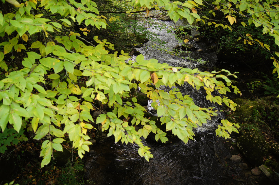
The Buttermilk Falls loop is as picturesque as any mixed terrain ride you will encounter in the area. The Lake Ninevah and Patch Brook Roads are the highlight of the ride with low traffic gravel roads that pass through a quintessential rolling New England landscape. The route culminates at Buttermilk Falls; a small 3 tier waterfall that collects into a large pool that also severs as a popular swimming hole during the hotter summer months.
|
|
|
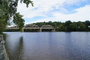
Connecticut River LoopRoute Profile
Miles: 35.1 Surface Type: Paved Elevation Gain: 1,714 ft Difficulty: Easy North Loop- Miles: 11.6 Elevation Gain: 391 ft South Loop - Miles: 23.4 Elevation Gain: 1,313 ft 
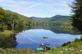
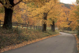
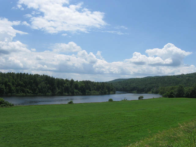
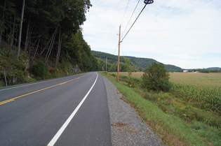
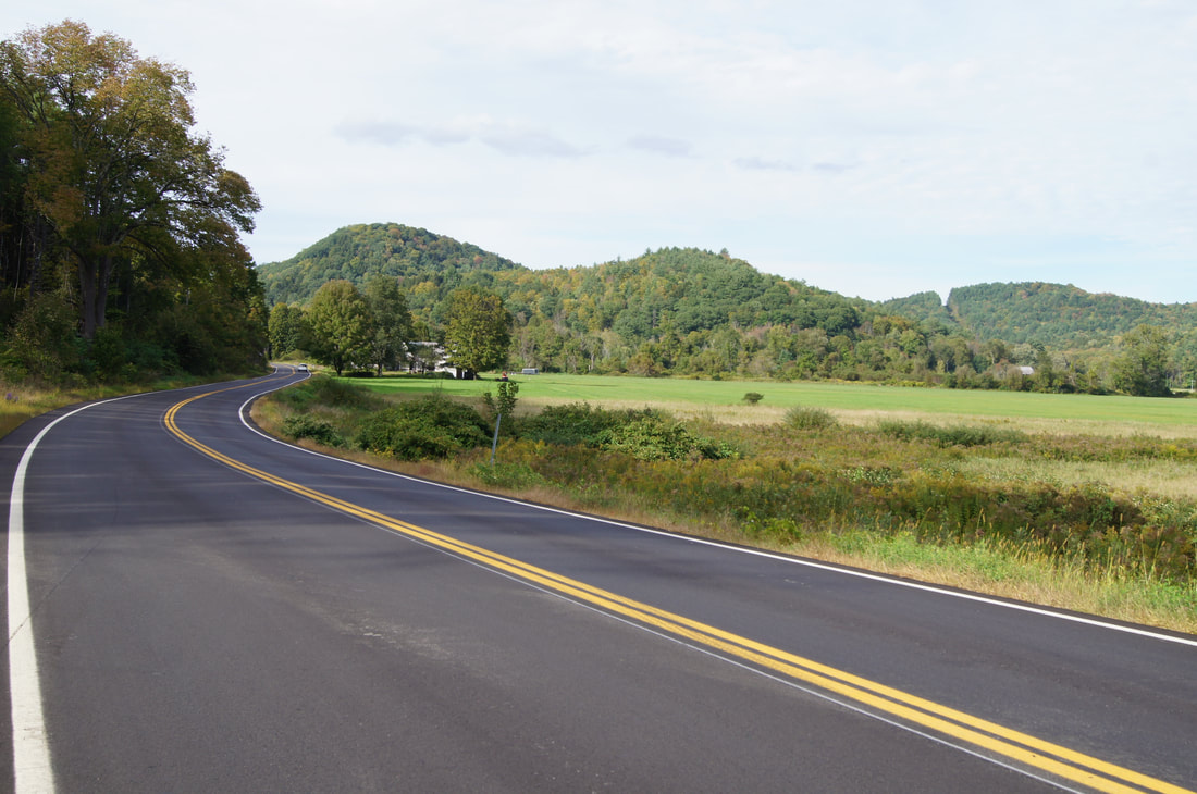
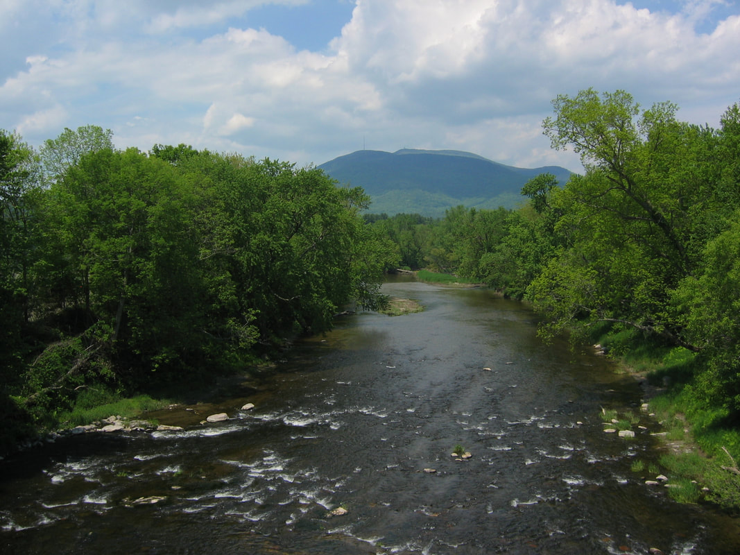
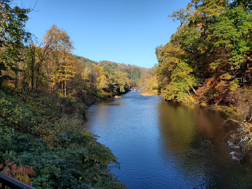
The Connecticut River is the longest river in New England and separates Vermont and New Hampshire. The surrounding valley is known for its rich farmland and was also once a main thoroughfare for massive logging drives in the 1800s. This beginner and family friendly route takes in the best of the “upper valley” with a leisurely figure 8 that traverses both sides of the river. You can ride the entire route in a day and cross into New Hampshire or ride it in a series of smaller loops. Amenities and lodging are plentiful along the route. The 3.2-mile Toonerville Trail is the only rail trail in the region and provides an excellent low-stress, off-road riding option between Springfield and the Connecticut River. Benches along the trail provide resting spots to take in scenic spots along the Black River, a tributary of the Connecticut. While on the trail keep a look-out for kingfisher or blue herons
|

Around Mount AscutneyRoute Profile
Miles: 23.6 Surface Type: Paved Elevation Gain: 1,328 ft Difficulty: Moderate Gravel Option Profile
Miles: 18.9 Surface Type: Paved/Gravel Elevation Gain: 1,230 ft Difficulty: Moderate 
Riding around Mt. Ascutney is one of the classic road rides in the area. This paved road ride is best suited for those comfortable with riding on two lane country roads with low to moderate traffic volumes. Like all routes in the area, the terrain is generally gently rolling and passes by small pastoral farms. This loop can be easily modified by combining it with the “Mt. Ascutney Parkway Climb” or a series of “Gravel Options” highlighted on the map. The gravel segments are low volume, graded town roads which can be traveled by most bikes (for a more adventurous gravel ride see the “Dirty Way Around Mt. Ascutney” ride, below). A great place to start this ride is Mt Ascutney State Park, in the Town of Windsor, which offers day use parking, overnight camping and access to other activities like hiking and trail running for a fee
|
|
|
Mount Ascutney ClimbRoute Profile
Miles: 7.4 Surface Type: Paved Elevation Gain: 2,270 ft Difficulty: Challenging 
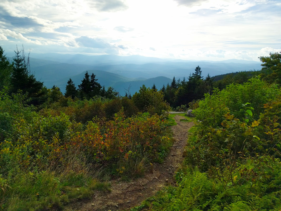
The iconic Mt. Ascutney is the second highest peak in Windsor County, and your legs will feel it as you ascend 2300 feet in 3.7 miles on the Mt. Ascutney Parkway. With an average grade of 11% and a maximum grade of 16%, this climbing route will test your mettle and your low gears. The parkway is part of Mount Ascutney State Park, which charges a daily per person entry fee during the operating season for all amenities located inside of the main gate, including using the road. There are several overlooks to take a break or just take in the scenery. Descend responsibly since the route is open to automobile traffic and the grades are steep. A good local’s tip is to ride this route before the park officially opens at 10am, so you can “enjoy” the climb car free.
|
Dirty Around Mount AscutneyRoute Profile
Miles: 28.2 Surface Type: Mostly Gravel Elevation Gain: 2,941 ft Difficulty: Challenging 
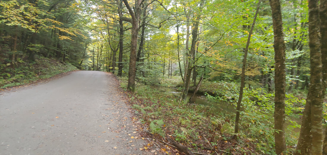
,For those looking for more adventure, this mixed surface version of the classic Mt. Ascutney Loop adds another 10 miles and 1,500 feet of climbing over rougher terrain. The gravel sectors explore the drainages of a few small creeks and brooks through undulating terrain. While not overly technical, this route includes some rougher “Class IV” forest roads, so a bike with tires in the 35mm and lower range is recommended, as is being equipped with basic bike repair tools
|
|
|
Gravel and GorgeRoute Profile
Miles: 26.5 Surface Type: Paved/Gravel Elevation Gain: 2,388 ft Difficulty: Moderate/Challenging 
This mixed terrain route is a figure 8 that incorporates the tree lined Trebo and Flamstead Roads but also ventures northward towards the towns of Cavendish and Proctorsville. The route is named after Cavendish Gorge, a series of small cascading waterfalls just east of the town of Cavendish. No visit in the area is complete without a stop at Singleton’s General Store in Proctorsville. Singleton’s is a family owned business that is part sporting goods store and part smokehouse, which is known for their meat selection and is the perfect place to stop for a mid-ride snack.
|

Chester - Springfield LoopRoute Profile
Miles: 19.9 Surface Type: Paved Elevation Gain: 1,195 ft Difficulty: Moderate 
This short and moderately hilly paved loop connects the small towns of Chester and Springfield. Heading East from Chester, you encounter the only significant hill of the day is a 2.5 mile climb that gains 400 feet with a maximum gradient of 7.3 percent. From there, you enjoy the ridge passing quaint farm houses before descending into Springfield. If you happen to have worked up an appetite, there are a number of great restaurants in the area. From Springfield you follow rolling country roads parallel the Black River, Great Brook and Williams River before returning to Chester.
|
|
|
Farm ViewRoute Profile
Miles: 11.1 Surface Type: Gravel/Paved Elevation Gain: 1,323 ft Difficulty: Moderate 
The Chester Farm View Loop is a short but picturesque route that is the perfect ride to slip in before breakfast or lunch. Leaving clockwise from Chester, the route follows Trebo Brook and climbs for three miles on a single lane country road, before returning back into town on Flamstead Road. The route is idyllic, offering glimpses of farm land from between the trees that line the route.
|
Chester - Ludlow LoopRoute Profile
Miles: 29.1 Surface Type: Paved/Gravel Elevation Gain: 2,312 ft Difficulty: Moderate/Challenging 
Chester and Ludlow are known for their historic village districts as well as being a hub of arts, restaurants and boutique shopping in the region. The Chester - Ludlow loop connects these two historic villages in a rolling mixed terrain route with stunning views of Mt Ascutney. Heading clockwise from Chester, the route slowly climbs until it reaches Andover, where the road decidedly points upwards. With a max grade almost nearing 12 percent, the route makes up what it lacks in distance with climbing. After a short and fast descent to the Williams River, you make another punchy climb before generally descending back towards Chester on VT-103.
|

|
|
Ridgeview Loop
Route Profile
Miles: 32.4 Surface Type: Paved/Gravel Elevation Gain: 3,072 ft Difficulty: Moderate/Challenging The Ridgeview Loop is a short, mixed surface, loop which manages to pack in a respectable amount of climbing. Clockwise from Springfield, you enjoy a short warmup on Fairgrounds Rd. The first significant hill climb begins when you turn on to Gulf Rd. Once at the top, you descend towards Ascutney for a brief respite before climbing once again on Goulden Ridge Road. Enjoy the rolling ridge on Skyline Drive, a single lane low traffic gravel road with a canopy of trees above you before descending and making your way back towards Springfield.
|
Riverview Loop
Route Profile
Miles: 34.8
Surface Type: Paved
Elevation Gain: 1,947 ft
Difficulty: Moderate
Miles: 34.8
Surface Type: Paved
Elevation Gain: 1,947 ft
Difficulty: Moderate
|
Springfield is a developing post-industrial town, which was once home to many machine shops and precision parts manufacturing. Riverside School on the banks of the Black River makes a great starting point for this route. Once you leave the park, the punchy hills begin immediately on the lightly traveled Fairground Road. The hills continue on 106 and 131 until the final sustained climb just south of Little Ascutney State Wildlife Management Area. From there you descend towards the Connecticut River and follow a generally flat route back towards the town of Springfield.
|
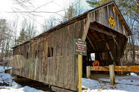
Williams River Loop
|
Route Profile
Miles: 11.3 Surface Type: Gravel/Paved Elevation Gain: 432 ft Difficulty: Easy The Williams River Loop is a short and scenic mixed terrain ride from the historic town of Chester. Riding clockwise from Chester, you meander on Green Mountain Turnpike, a small unpaved country road with little traffic surrounded by trees. After crossing the Williams River on the Bartonsville Covered Bridge you return on VT-103, a larger main road that has a generous shoulder. From there, it is a quick and flat trip back to Chester with plenty of time to grab a meal at one of the many restaurants.
|
Popple Dungeon LoopRoute Profile
Miles: 20.7 Surface Type: Gravel/Paved Elevation Gain: 1,815 ft Difficulty: Moderate/Challenging The Popple Dungeon Loop is a relatively short route that starts in the historic town of Chester, which has several restaurants and boutique shops. While short, this loop is full of punchy climbs that creep into double digit grades. Fortunately, no actual dungeons exist in the area, but instead the road got its name from the dense canopy of trees along the road which gave it a “dungeon” like feel. Stretches of the route are made up of low traffic gravel roads that are in good rideable condition.
|
Southern Windsor Gravel GrinderRoute Profile
Miles: 19.7 Surface Type: Gravel Elevation Gain: 2,008 ft Difficulty: Moderate/Challenging If you want to explore some gravel riding but don’t have the time to tackle the full Overland route, the Southern Windsor Gravel Grinder route is a good way to sample the area. At 20 miles, with 2,000 feet of climbing, you will still get a fair amount of climbing in a compact loop. Be prepared with a bike with appropriately sized tires (hint: leave the 25mm tire road bike at home) and low gears. A great starting point for both these routes is the small town of Brownsville, which is near three covered bridges in the area and has both lodging and places to eat.
|
2018 Overland RouteRoute Profile
Miles: 45.7 Surface Type: Gravel Elevation Gain: 6,009 ft Difficulty: Challenging The Vermont Overland route is the brainchild of Vermont local and past national champion, Peter Vollers. At 45 miles with a lung busting 6,000 feet of climbing, it is not for the faint of heart. You can race it annually with serious amateurs and professional cyclists at the popular annual Vermont Overland and Gravelfest in August (more information at vermontoverland.com), or you can do it at a much more relaxed paced on your own. Be prepared. The terrain is steep and chunky with some technical descents. Bring an appropriately geared bike with wide tires as well as tools to self-repair on the course.
|
Windsor - Hartland - Brownsville LoopRoute Profile
Miles: 23.1 Surface Type: Paved Elevation Gain: 1,353 ft Difficulty: Moderate Windsor is known as the “birthplace of Vermont” and makes a great starting point for this tour of three villages. This loop takes you on lightly traveled country roads that run parallel to the Connecticut River and slowly climbs on Brownsville Rd. You’ll pass bucolic farms, horses, cattle and sugar houses where sap is turned into maple syrup. You’ll also be treated to great mountain views from the rolling hills.
|
The Windsor Loop
|
Route Profile
Miles: 8.03 Surface Type: Paved Elevation Gain: 951 ft Difficulty: Easy/Moderate A scenic route with little traffic, beautiful scenery, and interesting landmarks. From State St and Main St (Rt 5), turn up State St and continue straight up Hunt Road. Turn right on Marton Road, follow it past the old state prison, then turn right again onto Weeden Hill Road, which turns into County Road and loops you back to Hunt and State St. For a shorter route, turn up State St and turn right on County Road. Pass the Mt. Ascutney Hospital on your left, turn right onto Juniper Hill Rd, and right again onto Main St until you’re back where you started. |
